
Learn
What Are GPS Coordinates in Land Documentation? Why Every Land Buyer Should Verify Them
Learn what GPS coordinates in land documentation mean, why they matter, and how GPS verification helps you avoid land fraud, boundary disputes, and government acquisition before buying land in Nigeria.
What Are GPS Coordinates in Land Documentation?
Buying land involves more than collecting documents. One of the most important details many buyers overlook is the GPS coordinates attached to the property.
GPS (Global Positioning System) coordinates are numerical values that identify the exact location of a piece of land on the Earth's surface. These coordinates are usually included in a survey plan, helping define the land's boundaries, size, and geographical position.
However, simply having GPS coordinates isn't enough. They must be verified to confirm that the land you're buying matches what is being advertised.
Why GPS Coordinates Matter
Many buyers assume that if a survey plan is available, the land is legitimate.
Unfortunately, that's not always true.
A survey plan shows what is documented. GPS verification confirms whether that documentation matches reality.
Without verification, buyers risk purchasing land that:
Is in a different location than advertised Falls under government acquisition Has boundary conflicts Has multiple ownership claims
These issues often remain hidden until it's too late.
What GPS Verification Reveals
1. The Exact Location
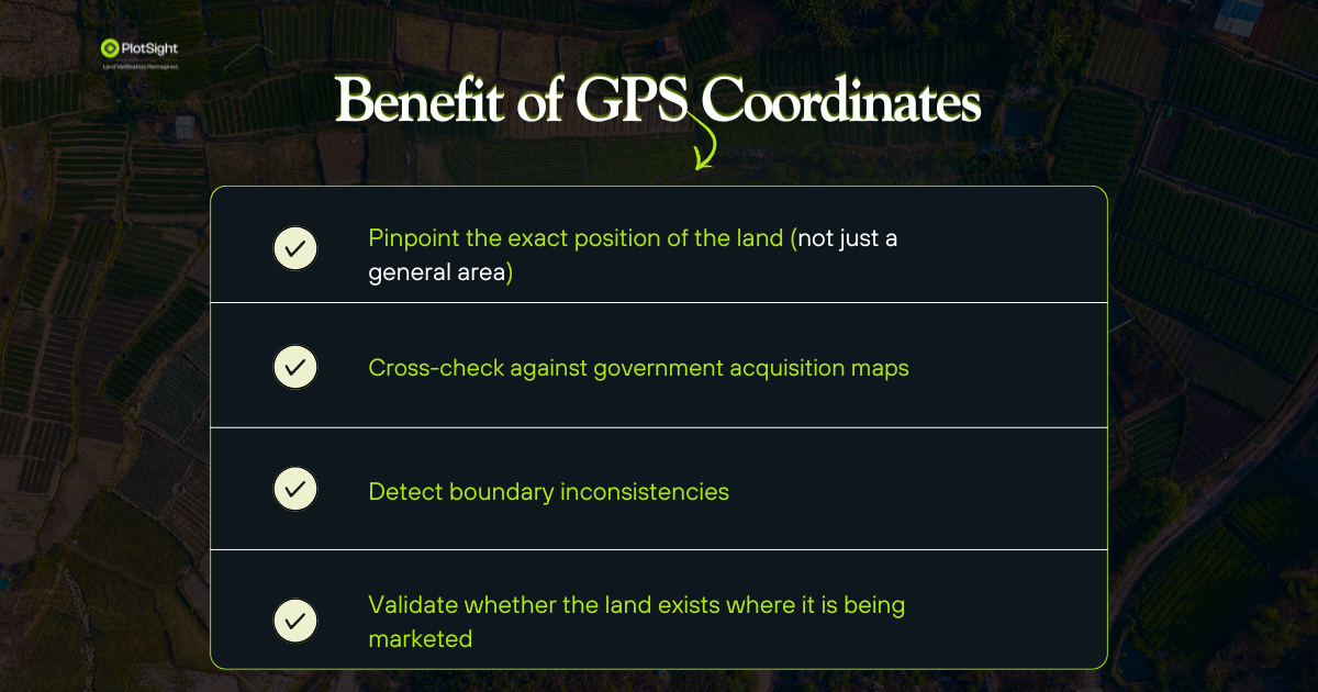
GPS verification pinpoints the precise location of the land, not just "around Lekki" or "near the expressway."
This removes uncertainty and confirms you're inspecting the correct property.
2. Government Acquisition Risks
One of the biggest causes of land disputes in Nigeria is buying land under government acquisition.
GPS verification helps identify whether a property falls within restricted or committed government areas before payment.
3. Boundary Conflicts
GPS data can reveal:
- Boundary inconsistencies
- Encroachment on neighboring land
- Overlapping survey plans
- Multiple claims on the same plot
4. Location Mismatch
Sometimes, the land shown during inspection isn't the same land described in the documents.
GPS verification confirms that the physical land matches the survey plan and documentation.
Why Land Documents Alone Aren't Enough
Documents such as:
- Survey plans
- Receipts
- Deeds of Assignment
are important, but they don't automatically guarantee that a property is free from risk.
Without verifying the GPS data behind these documents, you're relying largely on trust rather than evidence.
How PlotSight Verifies Land
At PlotSight, GPS analysis is a key part of our land verification process.
We verify whether:
- The land exists where it is claimed
- The GPS coordinates match the survey plan
- The property falls within government acquisition zones
- The location aligns with available mapping and official records
Because if the location is wrong, every other document becomes less reliable.
Before You Buy Any Land
Before making payment, ask these questions:
Do I know the exact GPS coordinates of this land? Have the coordinates been verified? Does the location match the survey plan? Has the land been checked for government acquisition or boundary disputes?
If the answer to any of these is "No," you should investigate further before committing your money.
Final Thoughts
GPS coordinates are one of the most valuable pieces of information in any land transaction. They help verify a property's true location, identify hidden risks, and provide confidence before purchase.
In Nigeria's real estate market, where land fraud and disputes remain common, verifying GPS coordinates can save you from costly mistakes.
Before you buy land, don't rely on documents alone - verify the location behind them.
Check a plot before you pay
Use what you learned here on a real survey plan or title search.